Chinese proverb suggests that every decision-maker should consider opportunities, geographical advantages, as well as human factors (天時, 地利, 人和). Spatial thinking is a cross-disciplinary thinking method with which spatial thinker can not only identify geographical advantages from spatial patterns and relationships but also integrate information and knowledge of multiple perspectives. United States National Research Council (2005) reported that the omission of spatial thinking is a major blind spot in the American education system.
This course will teach the essential spatial thinking skills and related modern technologies including GeoInformation Science, Satellite Remote Sensing, Locational-based Services (LBS) as well as Global Positioning System. The course will not only cover the basic knowledge but also provide sufficient practical experiences. Students will be able to apply the knowledge and skills in cross-disciplinary studies and working environments.
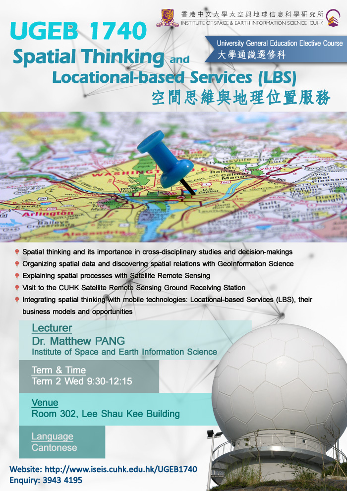
Lecturer: Dr. Matthew Pang, Institute of Space and Earth Information Science
Language: Cantonese
Offering Term: Term 2
Time: Wednesday 9:30-12:15
Venue: Room 302, Lee Shau Kee Building
Enrolment Requirements: Not for GRM and Urban Studies Majors; Co-requisite: UGFH1000 or UGFN1000 (Only applicable to students admitted to the 4-year curriculum)
Upon successful completion of this course, students are expected to: