The Chinese University of Hong Kong (CUHK) Hong Kong, China
Tutorial: Jan 17, 2017
Workshop: Jan 18-19, 2017
The Guidebook of the conference is now available. Please click here to download!
Global urbanization is creating huge demands for civil infrastructures, such as buildings, bridges, dams, tunnels, highways, airports, and railroads. Unfortunately, their maintenance management is usually not well coordinated. Under the progressive natural and/or human stressors, such as structural aging, sediment loading, groundwater or gas extraction, underground construction, or design faults civil infrastructures are deteriorating gradually, possibly resulting in catastrophic structural failure. In order to reduce deformation risks, there is an urgent need to address existing challenges and prepare for future ones by focusing on: monitoring, assessing and understanding deformation risks and sharing such information and how it is created.
In the last decades synthetic aperture radar interferometry (InSAR) has become an acknowledged geodetic technology. Its second-generation methods PSI, SqueeSAR, SBAS, tomography and variants thereof have revolutionized our understanding of a variety of geodynamic and structural phenomena (e.g., earthquakes, local subsidence, thermal and loading-induced building deformation) by mapping terrain movements and object deformation with unprecedented spatiotemporal details. Advances in very high resolution SAR satellite technology make it possible to remotely sense the minute deformation associated with the health states of individual structures over large areas, and provide a better picture of urban infrastructural dynamics for engineers. On the other hand the new Sentinel-1 line of SAR satellites provides us with data of unprecedented revisit frequency and long-term continuity on the basis of a free and open data policy. With all these observation capabilities in place and similar to human health diagnosis with an X-ray computed tomography (CT) scan, InSAR can be potentially used for urban infrastructural health diagnosis and early-warning of deformation risks.
This workshop, jointly organized by Institute of Space and Earth Information Science (ISEIS) of The Chinese University of Hong Kong (CUHK), the Remote Sensing Technology Institute (IMF) of the German Aerospace Center (DLR)and the Chinese Academy of Surveying and Mapping (CASM) will serve as an open forum to exchange ideas with latest developments in this area. The format of the event will include keynote speeches, submitted talks, and panel discussions.
We are inviting research papers related to the deformation monitoring of the following urban infrastructures:
If you want to present your research and ideas at this workshop, please submit a 4-page full paper to:
ituihd@cuhk.edu.hk on or before November 1, 2016

Urban Planning, Land & Resource Commission of Shenzhen Municipality
Tutorial on INSAR TECHNOLOGIES FOR URBAN INFRASTRUCTURAL HEALTH DIAGNOSIS (Jan 17, 2017)
| Regular Registration(After 15 November 2016) | HK$1000 HK$500 for full time students (student ID required) |
Workshop on INSAR TECHNOLOGIES FOR URBAN INFRASTRUCTURAL HEALTH DIAGNOSIS (Jan 18-19, 2017)
| Regular Registration(After 15 November 2016) | HK$1600 HK$800 for full time students (student ID required) |
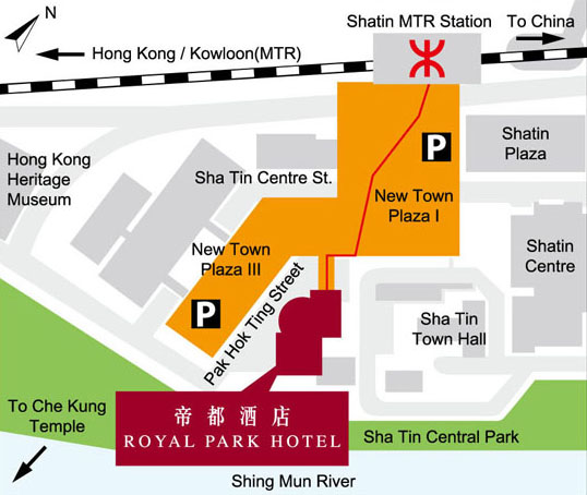
8 Pak Hok Ting Street, Shatin, Hong Kong
Click here to download the room reservation form. Please return the completed reservation form to Reservation Department by fax at (852) 2695 9291 or email to resvn@royalpark.com.hk
30 December 2016 (Friday)
_02.png)